Serian Geospatial
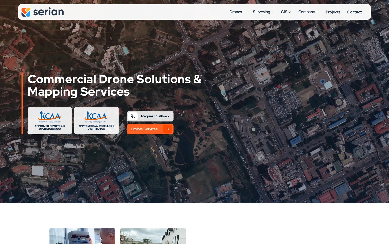

The corporate site for a drone mapping, LiDAR and GIS company, with projects, training, a drone shop and 3D virtual tours.
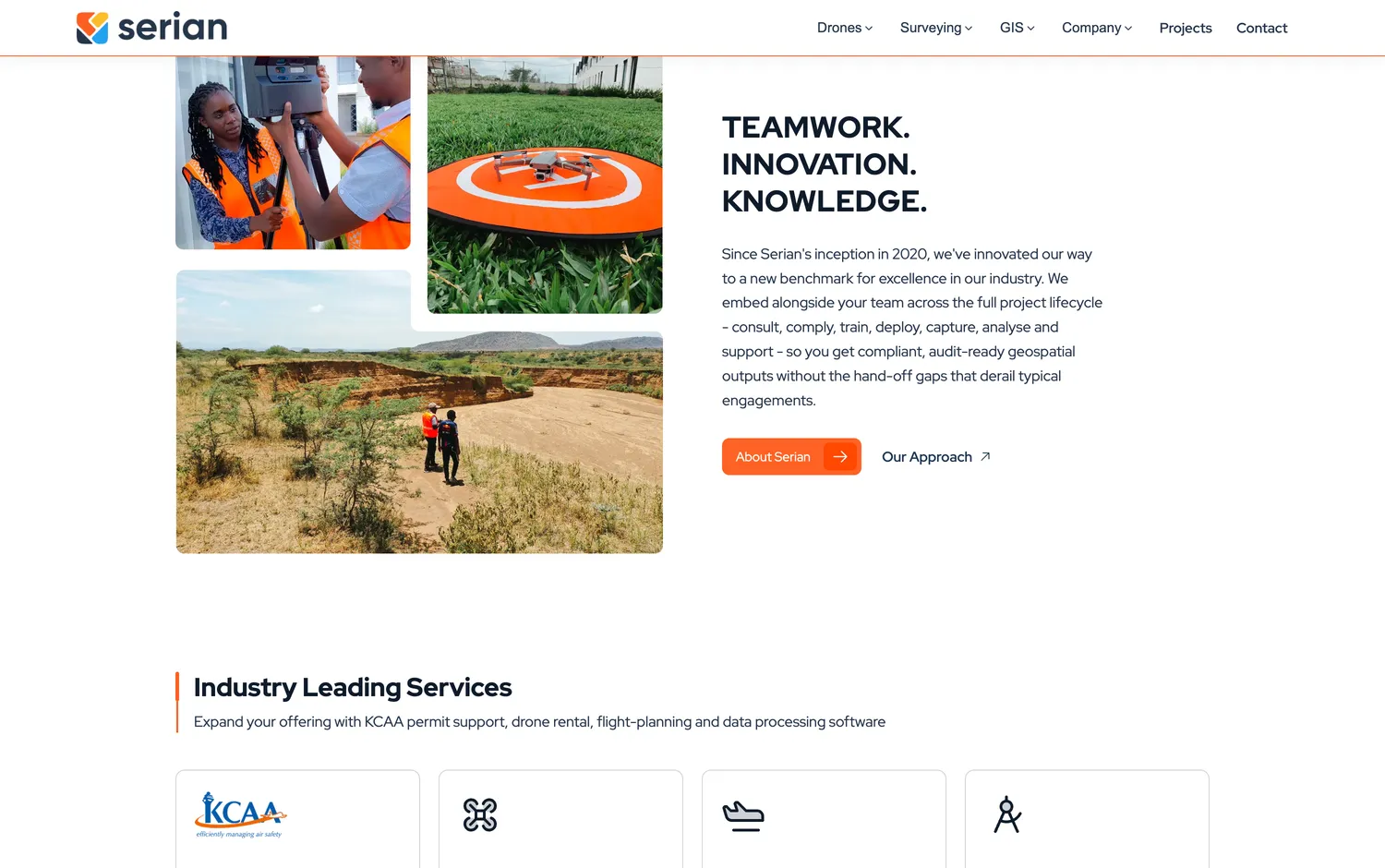
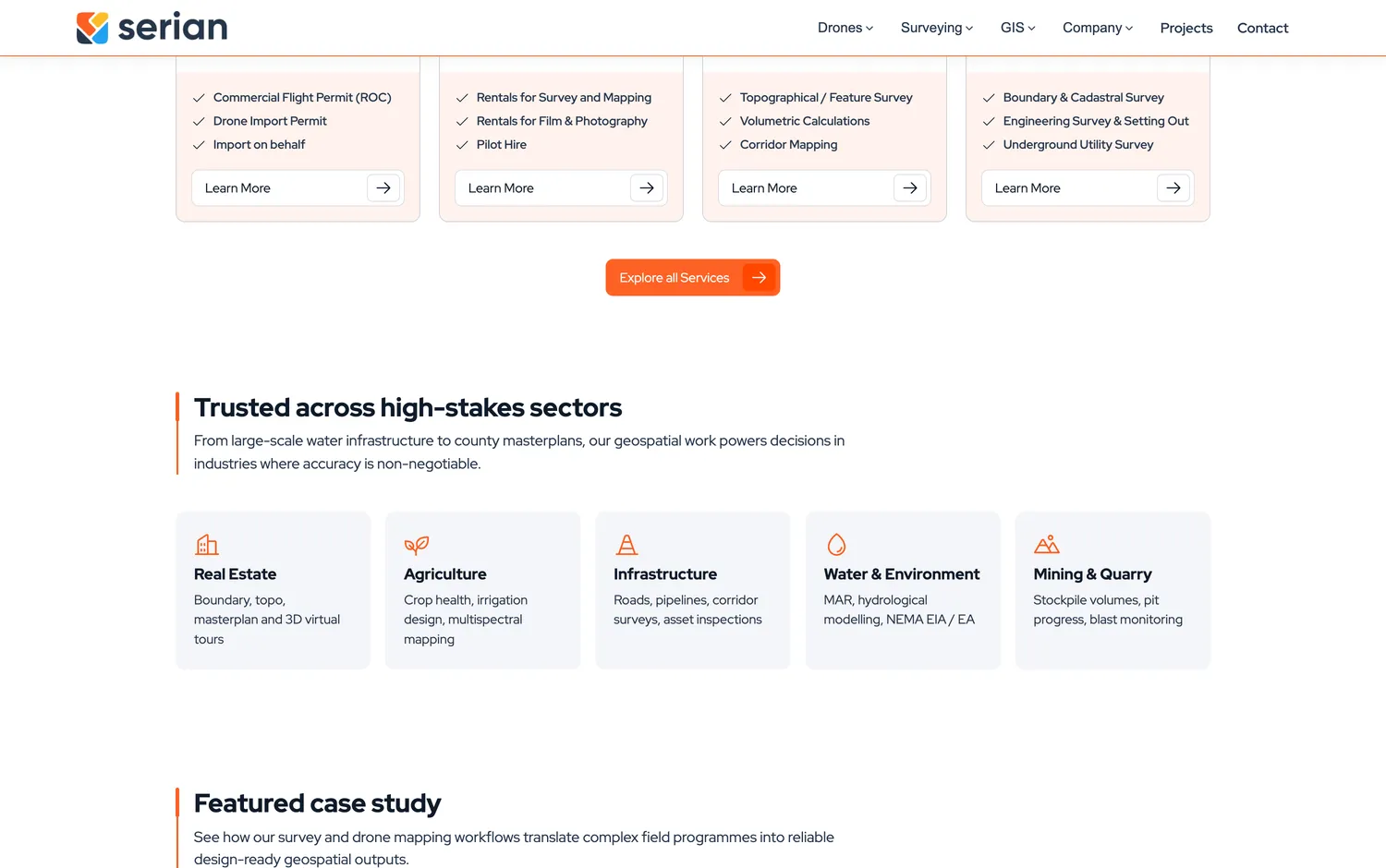
Serian Geospatial offers drone mapping, aerial LiDAR, GIS software development, environmental impact assessments, cartography and survey engineering across Kenya and East Africa. The site has to explain all of that to engineers, county governments and students at the same time.
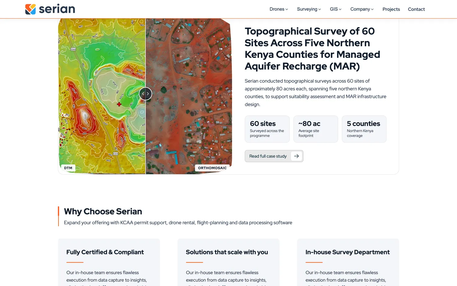
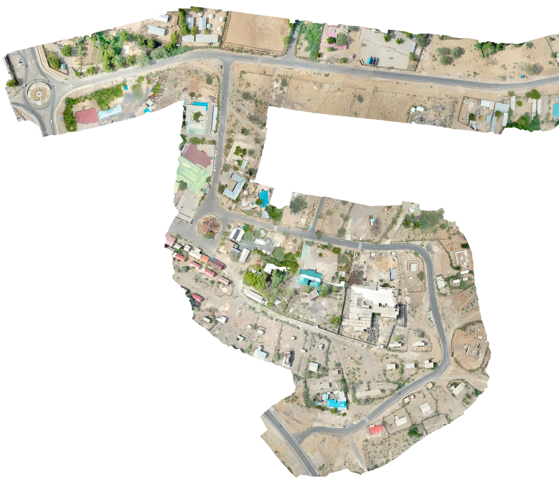
It is a Nuxt 4 application with a large content surface: services, solutions, a projects archive (including a 185 km road corridor mapped at Lodwar), training courses, careers, a blog, partnership pages and a drone shop. Matterport tours are embedded through the SDK so clients can walk through scanned sites in the browser.
Media is served through Cloudinary, forms are protected with Turnstile, and Tag Manager, GA4 and Google Ads are wired in for the sales team. It has been in continuous development since 2024.
About
Stingz is a web design and digital marketing studio based in Nairobi, Kenya, working with businesses across East Africa since 2021. We are best known for our work with safari operators, surveyors and publishers, but the studio covers a much broader spectrum of services. Read about our services or get in touch about your next project.












Contact
- hello@stingz.io
- Web
- stingz.io
- Socials
Nairobi, Kenya
-1.2921°, 36.8219° · EAT
Colophon
Stingz.io is built by the studio using hand-coded HTML & CSS on Nuxt, with GSAP and Locomotive Scroll for motion and Plus Jakarta Sans for type. Follow the Journal for updates.